National and State Parks are areas of land preserved by the Federal Government to protect natural beauty and biological diversity in America. National Parks are established by the Federal Government, while state parks are established by individual state governments. There are specific guidelines that must be followed in the management of these parks, as their primary purpose is conservation of nature.
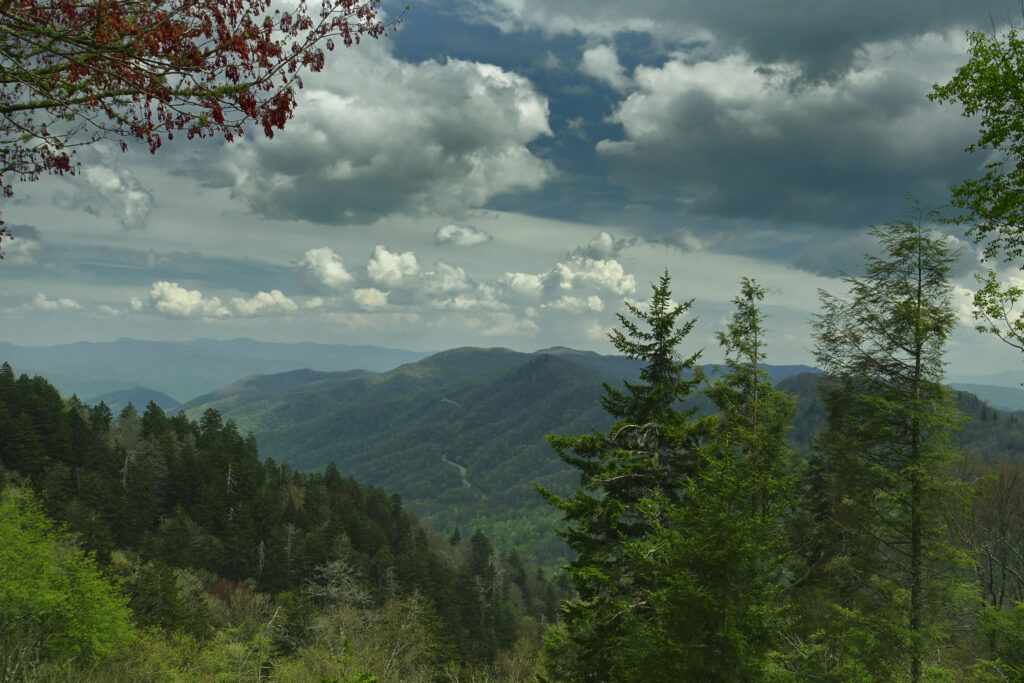
The Blue Ridge is a section of the greater Appalachian Mountain Range that sits in Tennessee, North Carolina, and Virginia, Pennsylvania, South Carolina, Maryland, and Georgia. For the purposes of this article, only the portions of the Blue Ridge in North Carolina and Tennessee will be discussed. There are two national parks in the North Carolina Blue Ridge: the Great Smoky Mountains and the Blue Ridge Parkway, as well as a handful of state parks.
National Parks
Blue Ridge Parkway National Park
History
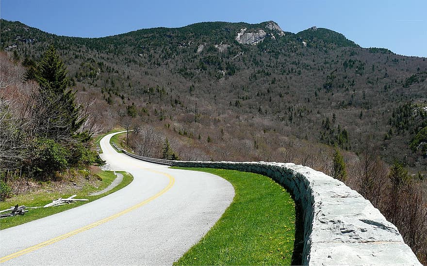
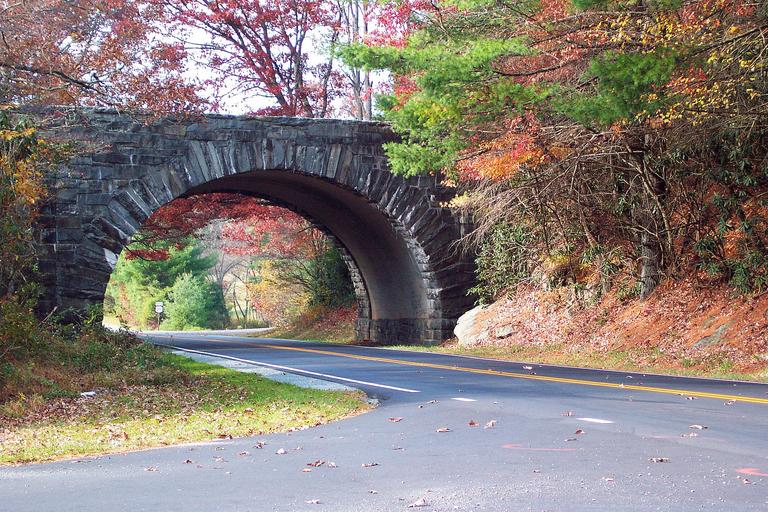
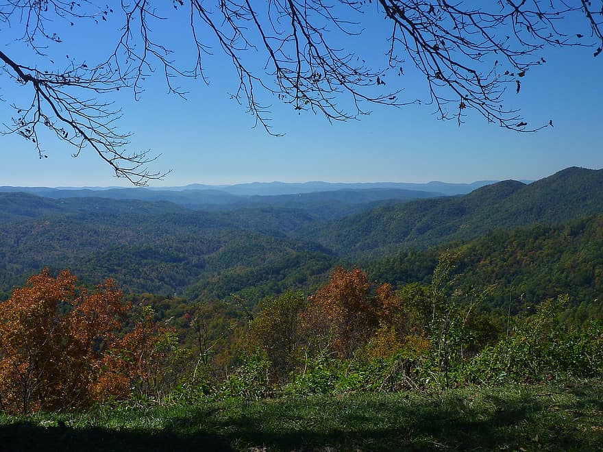
The Blue Ridge Parkway National Park is the longest linear park in America. It is constructed around a road leading through the Blue Ridge mountain range that runs for 469 miles from the Great Smoky Mountain National Park in North Carolina and Tennessee to the Shenandoah National Park in Virginia. The Blue Ridge Parkway National Park has historically been the most visited national park every year. According to the National Parks Service, it features “a slow-paced and relaxing drive revealing stunning long-range vistas and close-up views of the rugged mountains and pastoral landscapes of the Appalachian Highlands”.
Construction of the Blue Ridge Parkway began on September 11, 1935, after Senator Harry Byrd of Virginia proposed the idea to President Franklin Delano Roosevelt, and was approved by Interior Secretary Harold Ickles. However, there was some debate over the actual route the road would take. The initial plan, designed by New York landscape artist Stanley Abbott, was a road from Blowing Rock, NC, over the Unaka Mountains and into Great Smoky Mountain National Park. However, Asheville, which had been economically devastated by the Great Depression, successfully lobbied for the route to be changed so that it passed through Asheville. Many New Deal programs were employed in the construction of the park, including the WPA, the ERA, and the CCC. All but 7.7 miles of the road were fully completed by 1966.
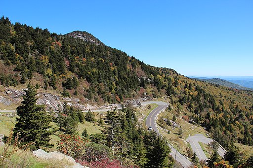
An interesting section of the park is the Linn Cove Viaduct. Constructed near the Grandfather Mountain portion of the road, it was built from the top down so that there would be minimal environmental damage to one of the world’s oldest mountains. Exposed rock near the construction site was covered to protect it from staining, and minimal trees were cut down, excepting those directly underneath the structure of the viaduct.
Environmental Information
The Appalachians, located along the parkway, are one of the oldest mountain ranges in the world. The geological driving up of the Appalachians was a consequence of the collision of the Laurentia and Avalonia continents which occurred about 500 million years ago. Since then, the mountain range has been worn down by millions of years of weathering and is no longer quite as tall or jagged as their younger counterparts in the Rocky Mountain range.
The Parkway also faces periodic mass wasting events, such as landslides, resulting in frequent closing of the Parkway. Landslides are common in the mountains, and can be caused by a combination of erosion, steep hills, lack of adequate stabilizing factors (such as forests) or excessive precipitation. Most mass wasting events in the southern Appalachian Highland region occur in the Blue Ridge, which primarily affects the parkway.
Pollution and other anthropogenic disturbances of the environment are also a significant issue for Park management. Humans are one of the largest sources of pollution in the blue ridge. Roads built in and around the park disturb the landscape, and agriculture on both sides of the park have fragmented the environment. Lands not protected by the boundaries of the park, being much less monitored, have been the cause for the introduction of non-native pests or animals that the natural ecosystem of the park cannot cope with. Even though the park faces many challenges in managing the ecosystem it protects, it manages to provide a safe harbor for many animals and plants that otherwise would face a multitude of problems.
Great Smoky Mountains National Park
History
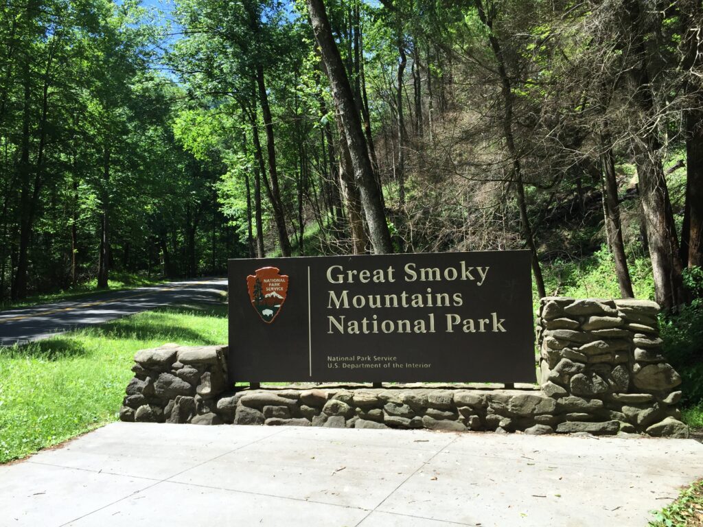
Great Smoky Mountains National Park is a National Park is Tennessee and North Carolina that is located in the Smoky Mountain subsection of the Blue Ridge Mountain Range. The park contains some of the tallest mountains in eastern North America, such as Clingman’s Dome and Mount Guyot. The park encompasses and protects 522,419 acres of land and was made a UNESCO World Heritage Site in 1983. The park is also the most visited National Park in the United States and contributes significantly to the local economies surrounding it.
Initially the U.S. National Parks service was interested in a National Park in the eastern United States, but the budget did not support it at the time. In 1926, the park was authorized by Congress, and was funded in large part by donations from private citizens, notably John D. Rockefeller, Jr., and some federal funds. The park was officially established in June of 1934 and over time, citizens were evicted from the protected land, and agricultural and foresting operations were banned within the park.
Environmental Information
The Great Smoky Mountain National Park, much like the Blue Ridge Parkway, has been altered by erosion. It has also been impacted by the presence of glaciers, which contributed to the Alpine forests that populate the higher elevation areas. Glaciers are also responsible for many of the boulders that that dot the streams within the park.
There are five distinct forest types housed within the park, and the biological diversity is “world renowned”. Rocks in the park tend to be metamorphosed sedimentary, which follows, as the intense heat and pressure of a mountain building event would be enough to change the nature of rocks. The oldest rocks in the park date between 800 and 545 million years old and are part of the Ocoee Supergroup. Most of the waterfalls that draw so many tourists every year resulted from downcutting, a process through which rock harder than its surroundings is slowly chipped away in a specific pattern to maintain the waterfall even as the rock retreats. Overall, the park boasts a fascinating array of both biological diversity and geological processes.
Gorges State Park, the newest and westernmost state park of North Carolina, contains 7,500 acres of waterfalls, river gorges, rock walls, and rare species. It is primarily composed of second growth forest. The most important event in the history of the park is the flood of 1916 that was triggered when the dam on Lake Toxaway broke. The flood caused devastating destruction to the surrounding local communities, propelling many local citizens to move out and sell their land to Singer Sewing Machine Company, which invested in logging of the land. Thereafter, the land was sold to the Duke Energy Corporation, and ultimately to the North Carolina Division of Parks and Recreation, who officially formed Gorges as a state park.
Throughout the park, deposits formed by landslides, and composed of colluvium (sediment deposited by creep or erosion), and alluvium (sediment deposited by a river), are present. One such example is the Toxaway River slide, a four-acre large, area of constant motion that predominantly moves weathered and Toxaway Gneiss. The slide follows general patterns of the shape of a flow, leaving a concave area where the rocks originally fell from and a large toe, generally depositing silty sand and micaceous silty sand.
The flood of 1916 was responsible for a significant amount of sedimentation providing an extremely interesting study on the effects of flooding on sedimentation in general. Technically, the flood can be classified as a debris flow, as it deposited clay to boulder size sediment carried by water. The speed of the flow is estimated to have been about 30 miles per hour. Many boulders were deposited, ranging in size from 6 to 30 feet long. In some cases, like Bearwallow Creek, the boulders obstruct rivers, forming alluvium buildups behind them. The smaller sediment left by the flood forms a thin layer that stretches from Lake Jocassee for 11 miles into South Carolina.
Grandfather Mountain and Mount Jefferson
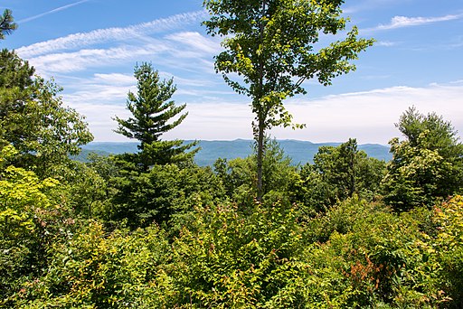
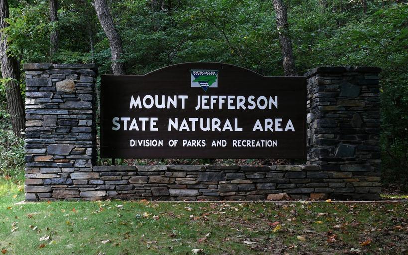
Two other smaller state parks are Mount Jefferson and Grandfather Mountain. Mount Jefferson, encompassing over 400 acres, became a state park in 1956. It is considered a “botanical paradise”, featuring many species of trees and wildflowers. Many trees from chestnuts to red maples to basswoods are all within the park. There are also many birds and animals that populate the reserve. Grandfather Mountain is the highest peak on the Eastern Escarpment of the Blue Ridge. In 2008 North Carolina purchased the land in to make it a state park. The Mountain itself has 16 distinct ecological communities, and it features the headwaters of the Linville and the Watauga River. Grandfather mountain is known for its challenging hiking trails and severe weather. Trails can be vertical, requiring use of a ladder to reach the end of the path.