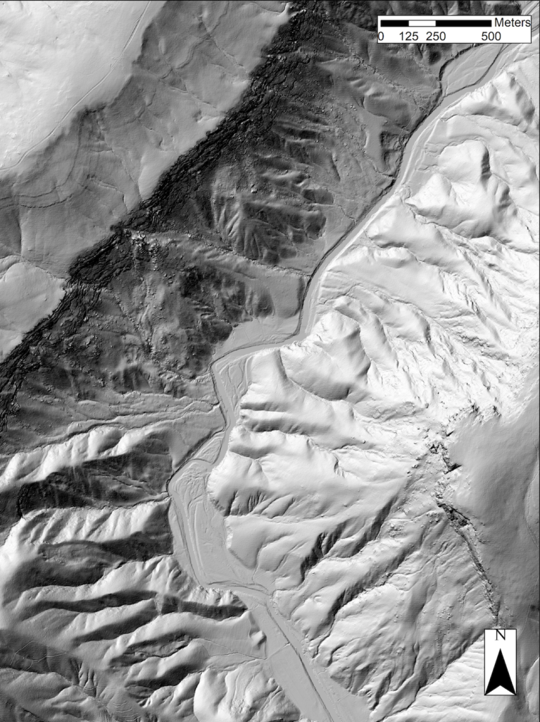
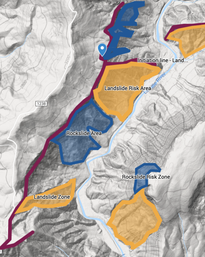
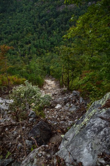
The frequency of landslides at Linville Gorge can be attributed to major storms that bring immense amounts of rain water to the region. While not common, the related damages are significant with forest altercations being the most severe. The most recent of these occurred in 2018 when Hurricane Florence swept through the Southern Appalachian Highlands (SAH). Landslides are more common on the western side of the river given the height differential of the escarpment and the tendency of more developed alluvial fans in the upper-middle reaches.
Using LiDAR (Light Detection and Ranging), geologists are able to assess landslide risks and determine areas that might be prone to debris flows. The image on the left is representative of the LiDAR imaging, whereas the image on the right is the overlapping areas that present the risk of debris flows along with labels. The result looks like this: