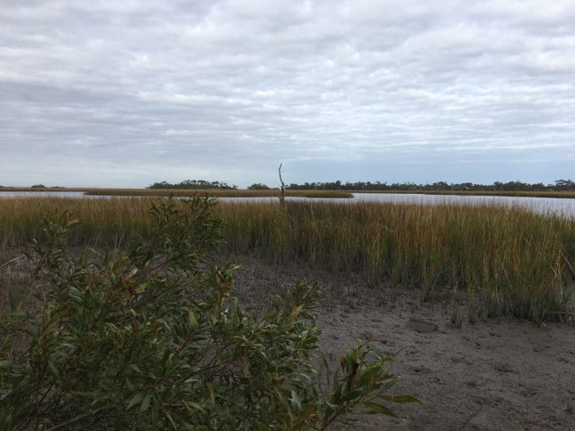
Located south of Wilmington and roughly 35 miles long, the Cape Fear Estuary marks the end of the Cape Fear River System, North Carolina’s largest. In addition to the Cape Fear River, the estuary is primarily fed by the Black River and Northeast Cape Fear River, and connects with the eastern end of Long Bay. Other rivers in the river system include the Deep River and the Haw River. Roughly half of the estuary is made up of freshwater, with the estuary’s brackish water making it a vital nursery for young fish, shrimp, and crabs. Cape Fear also contains lots of Cordgrass and Phragmites due to its high salinity levels.
Cordgrass in Cape Fear marsh - Photo taken by Lindsay Cody
Cape Fear Estuary’s shape makes it particularly prone to storm surge from storms passing west of the estuary. The estuary’s northeastern sections have particularly low-lying land and are most prone to flooding.
Human Impacts/Fort Fisher
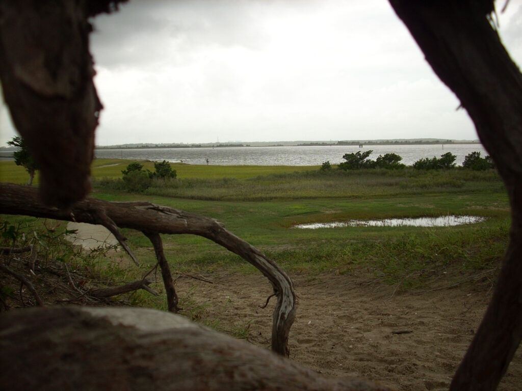
Picture taken at Fort Fisher Recreation Area - https://commons.wikimedia.org/wiki/File:Fort_Fisher_State_Recreation_Area_Roots.JPG
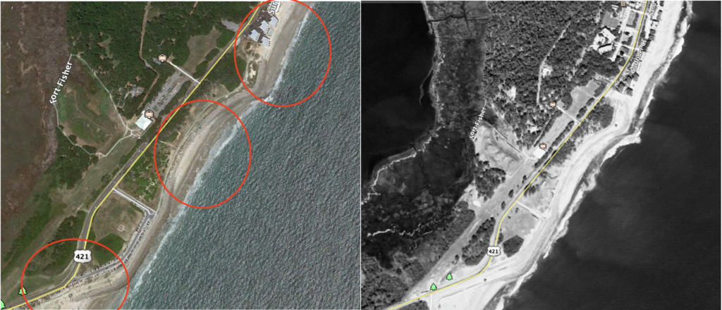
A key landmark of Cape Fear is Fort Fisher, an important military fort that was used to protect trade routes during the Civil War and was the site of one of North Carolina’s most influential battles. Fort Fisher’s historic value has also made it an excellent example of the impacts of stabilization, as it includes one of the few hard stabilization exceptions to North Carolina’s Coastal Area Management Act. Fort Fisher was built on soft stream sediments that erode much more quickly than mainland coastal sands, and because of rapid erosion, a wall of rip-rap was constructed in 1996 to preserve the historical site. This stabilization along the fort has and will continue to increase erosion rates for nearby beaches, and the effects are already apparent today.
(Left) Fort Fisher shoreline in 2019. (Right) Fort Fisher Shoreline in 1999, three years after rip-rap construction. Red circles highlight areas with significant erosion from 1999 to 2019.
In addition to the loss of beaches from stabilization, the construction of dams along the Cape Fear River has significantly reduced the fish population in Cape Fear. Dams disrupt fish populations’ spawning habitats, which has led to a 90 percent decrease in the total fish population of Cape Fear.
Consulted Sources:
Cape Fear River Watch. “Fishery Restoration.” Cape Fear River Watch. 2020.
Ensign, Scott H. et al. “Application of digital bathymetry data in an analysis of flushing times of two large estuaries.” Computers & Geosciences. 30.5. pp. 501-511. Jun. 2004.
Kalo, Joseph and Clark, Walter. “The Rights of Oceanfront Property Owners in the 21st Century: Part III.” North Carolina Coastal Resources Law, Planning and Policy Center. Summer/Fall, 2006.
Mallin, Michael A. et al. “Hurricane Effects on Water Quality and Benthos in the Cape Fear Watershed: Natural and Anthropogenic Impacts.” Ecological Society of America. 9.1. Feb. 1999.
Mazzocchi, Jay. “Cape Fear River.” NCPedia. 2006.
Pilkey, Orrin H., et al. “Ranking the Risk of Your Island.” The North Carolina Shore and Its Barrier Islands: Restless Ribbons of Sand, by Orrin H. Pilkey, Duke University Press, 1998, pp. 190-192.
Xia, Meng et al. “A Numerical Study of Storm Surge in the Cape Fear River Estuary and Adjacent Coast.” Journal of Coastal Research. 24.4. pp. 159-167. Jul. 2008.
Xia, Meng et al. “Modeling of the Cape Fear River Estuary Plume.” Estuaries and Coasts. 30.4. pp. 698-709. Aug. 2007.