The Raven Fork, located just outside the Great Smoky Mountains National Park, has been the study of several events such as sedimentation, stream capture, and landslides. The Raven Fork is formed by the confluence of many tributaries that run through the GSMNP such as Straight Fork, Left Fork Raven Fork, Rapid Creek, as well as many other smaller headwaters.
Straight Fork
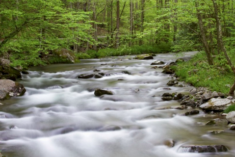
Straight Fork is one of the largest Raven Fork tributaries, and is generally a stream characterized as a fast-flowing shallow stream. Though Straight Fork is generally shallow, it does contain many deeper plunge pools.
Raven Fork
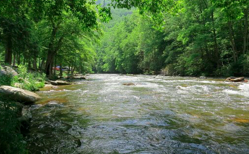
The actual Raven Fork runs much deeper and wider compared to its headwaters. After a strong rain, as seen in the image above, the Raven Fork runs significantly faster. The turbidity also substantially increases as the headwaters carry runoff from the high relief within the National Park. The channel of Raven Fork is about 20–30 m wide, has an average stream gradient of 0.0075, with gravel, cobbles, and boulders comprising most of the channel bed. The morphology of the channel bed is characterized by rapids, riffles, and runs, with only a few pools interspersed in the studied reach. Small outcrops of bedrock are exposed in many places along the channel.
–Holocene erosion, sedimentation, and stratigraphy at Raven Fork, Southern Blue Ridge Mountains, USA
Area of Focus
The area of focus within the Raven Fork “ includes three kilometers of the lower Raven Fork valley near its confluence with the Oconaluftee River on the property now owned by the Eastern Band of Cherokee Indians and adjacent land within Great Smoky Mountains National Park in the heart of the Southern Blue Ridge Mountains.”
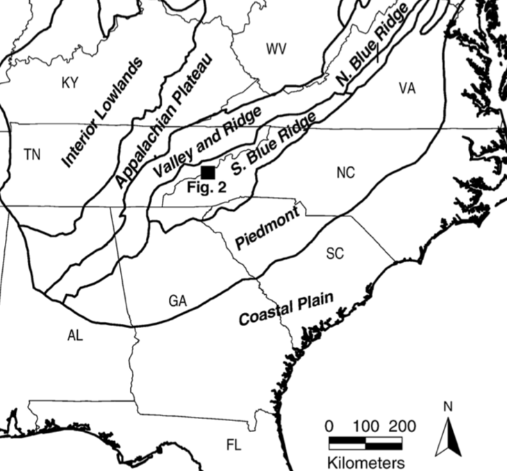
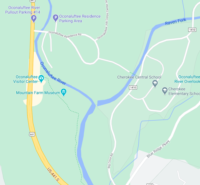
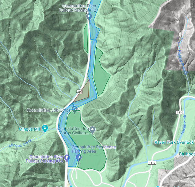
Within the area surrounding the confluence of the Raven Fork and Oconaluftee River, the channel contains many alluvial floodplains as well as terraces. As shown in the map below, alluvial fans are color-coded as brown, terraces are color-coded as green, and finally, floodplains are color-coded as blue. Soil found around the Raven Fork stream bank “typically consists of a normally graded, massive, light brown, sandy silt loam top-stratum that abruptly overlies the bottom- stratum of stratified and imbricated sand, gravel, and boulders found at depths of one to two meters. Soils on the terrace are slightly weathered Inceptisols (A, Bw, C profiles) that typically exhibit cambic Bw horizons in the subsoil. Soils on the floodplain are Entisols (A, C profiles) that exhibit little to no weathering or hori- zonation.”
Economic Impacts
Throughout the nineteenth century, both clear-cutting and logging were used as a source of income for those living on the Cherokee Reservation. “Large parts of the Appalachian forest experienced clear-cutting and rapid erosion during the 1800s and early 1900s, because of logging and limited clearing for agriculture (Roosevelt, 1902; Ayres and Ashe, 1905; Glenn, 1911). Only about four percent of the Raven Fork catchment was mapped, however, as having been clear-cut by 1904 (Ayres and Ashe, 1905), which mostly included cutting of valley bottoms and low-elevation hillslopes. Glenn (1911) describes most of the Oconaluftee basin as forested, with little to no “damage” to streams from logging activities.
“The logging history, climate, and the abundance of rhododendron all stem from the watershed’s geology and topography. The erosion resistant Anakeesta Formation underlies most of the watershed, and Raven Fork flowing over it for eons has produced a dissected high plateau stretching from the main crest of the Smokies south towards the Cherokee Indian Reservation in North Carolina.” -Jess Riddle, Native Tree Society
