Coastlines are very dynamic places; phenomena like longshore currents, sea level rise, and shoreline retreat incessantly move sediment and change the shape of the coast. Despite the immense challenges and dangers of living in such a precarious and ever-changing area, humans tend to build structures and roads right along the coast. Shorelines are constantly being reworked by coastal processes, and this natural process only becomes problematic when humans decide to build fixed structures that will not move alongside them.
Hard stabilization and soft stabilization are two general techniques that are employed to attempt to keep shorelines in place and protect infrastructure, but both have associated consequences. Hard stabilization structures are built on or near the beach and have the overall goal of preventing the loss of beach and/or beach property. On the other hand, soft stabilization is most commonly executed in the form of beach nourishment, and seeks to replenish beaches which have already been deprived of sand.
North Carolina has banned the construction of new hard stabilization structures along its beaches, but other states (like South Carolina) these are regularly implemented to combat coastal erosion to protect buildings and roads.
Hard Stabilization
Jetties
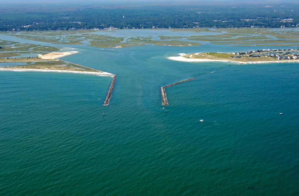
Jetties are often necessary to keep inlets open for human use (often shipping); although tidal currents are sometimes enough to keep inlets open naturally, longshore currents can pile sediments into these waterways and effectively close them. Longshore currents occur when wind pushes the waves at an angle the shoreline, which ultimately moves sand down the beach in the direction of the current rather than just back and forth with breaking waves.
Jetties are long barriers typically made of large rocks or concrete that are placed on either side of an inlet to prevent it from closing. Although jetty pairs can keep inlets open and reduce the need for dredging within the inlet, they prevent sand from reaching the beaches in down-drift areas, which eventually become starved of sediment.
Groins
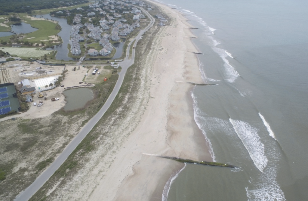
Groins have a similar function to jetties, but are typically much smaller and are situated along beaches instead of in pairs guarding inlets. A groin traps sand that would have otherwise been transported by longshore currents and thus maintains the beach on the side of the groin where the longshore current is originating from, however, the beach on the other side of the groin experiences beach starvation.
Since people living on the beach typically do not want to lose their sandy beaches, it is common for subsequent groins to be built down-drift of an initial groin. These serieses of groins, called “groin fields”, have wider beaches from accumulated sand on the up-drift side of each groin, and are severely starved on the down-drift side.
Seawalls
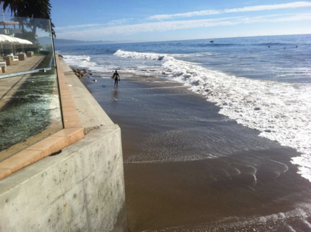
Seawalls- also known as bulkheads- are hard barriers constructed from rocks and concrete that are built to protect roads or buildings along the coast. They are temporarily quite effective at this, but come with the cost of beach loss. The energy from breaking waves reflects off the seawall and drags sand with it, quickly eroding the beach. Once the beach is gone the seawalls themselves can collapse from wave energy eroding the remaining sediment beneath them.
Breakwaters
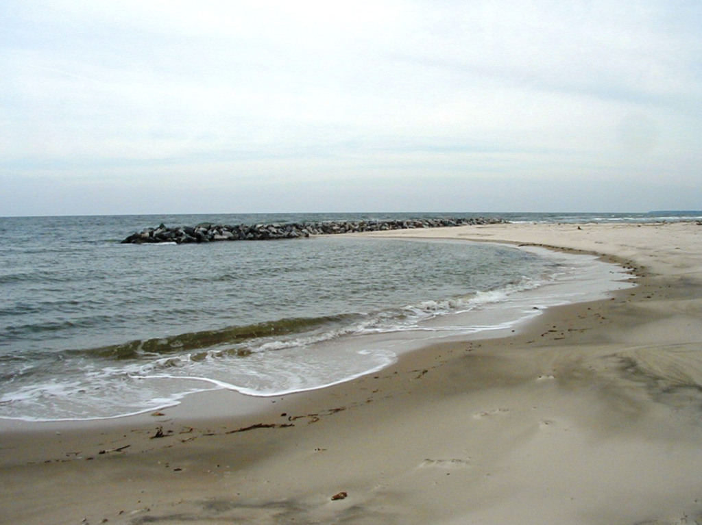
Breakwaters are offshore structures, typically constructed from large rocks. that protect the beach from incoming waves. However, sand can over-accumulate behind the breakwater, creating problems for boat traffic. Breakwaters can also disrupt the longshore current, which deprives down-current beaches of sand.
Soft Stabilization
Beach Nourishment
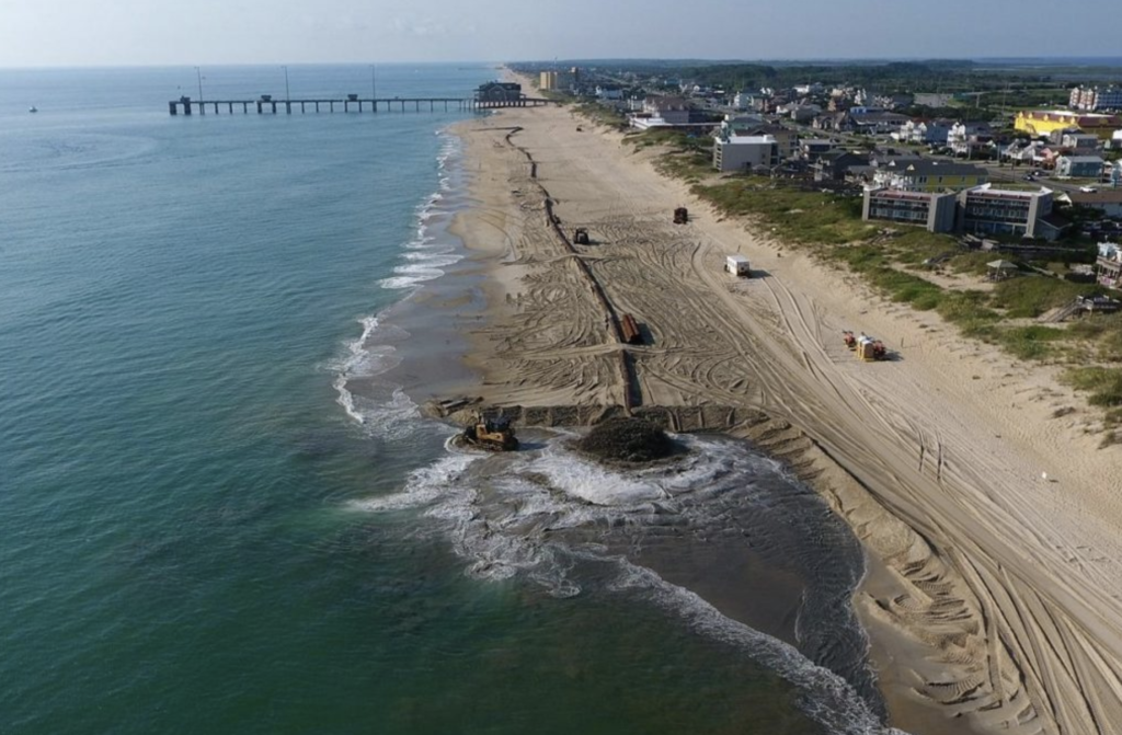
Beach nourishment is a form of soft stabilization, and requires a significant offshore sediment source. Sediment is pumped onto the shore to rebuild the lost beach, temporarily mitigating the effects of longshore current beach erosion. This process is extremely costly- 9 billion dollars have been spent on US beach nourishment since 1923- and is not a permanent solution, so beaches are often replenished every few years or so.
The Impact of Coastal Interference
One excellent example of coastal interference (and lack of) and how it disrupts natural coastal processes is in South Carolina. Folly Island has been continuously protected by both beach nourishment and hard stabilization structures. Despite the fact that barrier islands naturally migrate, the island has remained in the same location because of these efforts. The island’s immobility is obvious when compared to the neighboring Morris Island, which has been allowed to migrate. Over time, Morris Island has migrated landward so much that its lighthouse (which was built in 1876) now sits about 1500 ft offshore.
You can see the position of the two islands and impacts of the differing coastal management strategies, as well as the offshore lighthouse, on the satellite view of the map below.
